Expect more tonight once I'm back in Seoul.
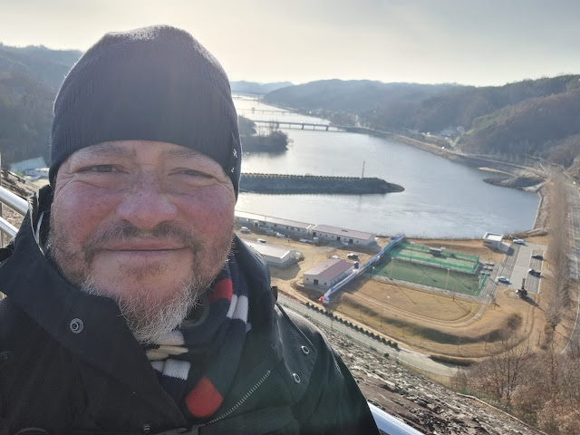 |
| 3:00 p.m. (Nakdong River valley in the background) |
 |
| also 3:00 p.m. (Andong Lake in the background) |
These are normally on-the-road entries, but I'm typing this final walk update from my apartment in Seoul. It was a cold, cold morning when I left Poongsan-eup (Songhak Motel) and headed out to Andong Dam. Even when the sun finally came out, it took a long time for the air to warm up. In fact, when I finally upload all of the photos for this day, you'll see that there's a huge gap where all the exciting stuff happened, and the visual narrative just skips over all that to what is essentially the last part of the walk. Sorry about that, but I simply couldn't move my fingers anymore. Strangely enough, clenching them wasn't as much as a problem as unclenching them was. This proved problematic not only for taking pictures but also for blowing my nose, which has been in constant drip mode since I restarted this walk.
I couldn't help but be happy on the last day, though, especially knowing that I'd end up at the magnificent Andong Dam. And since I'm aways thinking about food, I was also looking forward to having a nice, big, rib-sticking pizza at that pizzeria with the biblical name. I had to look the place up, in fact: it's called Goshen (Gosen/고센 in Korean). I'll have more to say about it soon.
Today's walk was a good variety of terrain, what with two big hills and the Dan Ho Bridge (단호교) that always makes me think it's a tribute to Don Ho. The route also went through a village called Dan Ho First Village (단호1리/Dan Ho 1-li). My favorite part of the walk is where I finally got to start photographing again: the long stretch along the Nakdong River where you pass under three or four bridges before crossing two smaller bridges meant for pedestrians and bikers. I somehow spaced out and failed to cross the second bridge, and I didn't catch my error until I was 500 meters along the wrong path, so we can add another kilometer to the path's original 27K distance. Also, that distance was calculated to the dam's certification center, which is almost a kilometer short of the dam. I also walked around that area quite a lot before going up to the dam, which is why you see the ridiculous step count for the day. That's obviously not a step count for a mere 27K.
Along that last part of the walk were also plenty of waterfowl. I don't know whether these birds—primarily ducks and loons—are migratory (Google's AI says yes, they normally are), but these ladies and gents didn't look as though they were going anywhere. What was also funny was how skittish they were around me: every time I raised my arm with the phone camera, they would take off en masse. It's as though the birds had evolved a hunter-avoiding instinct: a raised arm could mean a bow and arrow or a rifle. I learned, therefore, to turn away from the birds first, raise my arm, then slowly turn back toward them to get the shot I wanted. (These aren't the only birds that are skittish in this specific way: herons, cranes, and egrets are also on the alert for raised arms and for people who suddenly stop to take pictures.)
Thank goodness about the weather: I'm glad it never snowed while I was out on the path. The last three or four days of the walk had me thinking a lot about my poor hands. Even with gloves on, my fingertips were constantly cold, so I guess I need to look for gloves that protect the fingers better. Or maybe I should just switch to mittens. The glove I'd lost had a special pad on the index finger to allow one to use haptic interfaces without taking the gloves off. While nice, this was a clumsy business at the best of times since there was always some loose fabric at the fingertips. I've seen some recommendations to use belt and zipper clips as a way to keep gloves from falling and getting lost.
I arrived at the certification center around 2 p.m., walked around, eventually got to the foot of the dam, and found the stairs leading up to the observation deck level with the top. Was there a "no trespassing" sign last time? If so, I don't remember it, but it was there this time. I also think my balance may be deteriorating: I don't recall it being so difficult to mount the stairs or to climb the short switchback trail two years ago. This time around, I was a bit nervous as I climbed up, fearful that I might fall at any moment. The stairs were basically slats, and you could see between them, which isn't great if you have a thing about heights. Still, I swallowed my fear and ascended slowly and carefully. There was no one else around, after all—an experience I'd had a lot in the early mornings and whenever I was passing through farmland. Many portions of this walk were, in fact, an introvert's paradise. Anyway, I made it to the top of the dam and took some time to marvel at the view. If you live in Korea and have never been atop the Andong Dam, I highly recommend the experience. It's not as breathtaking as, say, the Hoover Dam, nor is it as tall as the Alps, but it has its own charm and beauty.
Avoiding the urge to shutterbug the same scenes I'd captured two years ago, I went down the other side of the dam to Goshen Pizzeria, muttering to myself about how the place had better not be closed. Goshen's sign was on the main street, but the resto itself was up a driveway, tucked away from view. Maybe that sort of thing works for high-end restaurants, but as I discovered, Goshen was far from high-end. The restaurant's interior was plausibly Western, right down to the smell of the place. Ordering was via the trendy touch screen, which everyone seems to have adopted, fortunately or unfortunately. With no server to mess up an order, it's now up to the cooks and food runners to get things wrong. Since I was the only customer in the place (it was around 3:40 p.m., an awkward time for meals), the order came out perfectly: a "diavolo" pizza, which was basically a pepperoni pizza with some arugula and sliced onions strewn across the top. I also got a Coke.
The Coke ended up being the best thing about the meal. All praise to however they're handling soft drinks. If this was tap, it was a good mix of syrup and fizzy water. Aside from that, the pizza was frankly horrible. Horrific. A small, one-person pizza came out (there were no size options when I ordered), and while it initially looked nice, that illusion ended the moment my spatula sawed into the pizza to enable me to pull out a slice. The crust was thin, and as limp as a wet dishrag. Dave Portnoy, who always looks at a slice's "undercarriage" first, would have had a fit. The pepperoni slices were from that shitty Korean pepperoni; the cheese tasted as if it had come out of a bag, and the whole thing had the stink of a frozen pizza quickly thrown in the oven and then thrown on a plate. An afterthought. That may have been one of the worst pizzas I've ever had. Still, I lied when I paid my bill and told the cashier that I'd eaten well. But mark my words: I will never be back. One good thing did happen, though: on my way out the door, I met what I assume is the pizzeria's dog, a friendly little guy wearing a cute sweater. He hesitated a bit before coming up to me; I bent over and let him sniff my hand, then I scratched his head and petted him. I may have made an instant friend; as I walked toward the property's exit, the dog tried to follow me before it finally stopped and realized that I, like so many others before me, would be gone for good. I did at least get a couple pics of the dog.
As the sky darkened, I snapped more shots on my way down the side of the hill from the dam. Once I was back in town, I used my Naver Map app to try to figure out how to get a local bus to the Andong express-bus terminal. The app said I'd need to walk 40 minutes to a different bus stop from the one I'd been standing at, so I said "Fuck it" and used Kakao Taxi to summon a taxi to take me to the terminal. Once there, I used an automatic ticket-dispensing machine to purchase a ticket for a 6:30 p.m. bus. This gave me time to take a gratifying piss; the bus arrived in short order, and after having spent days with freezing hands, I spent the entire bus ride cozy and warm, with my hands jammed firmly into my jacket's pockets as I nodded off.
And that's how my roughly 403K walk from Busan to Andong ended, on a note of contentment. Give me a day to rest, then I'll work on the trip's postmortem, after which I'll upload all of the rest of the pics for the latter half of the trip. I'll write captions and commentary, too, and if I play my cards right, I'll get all of this done before Christmas. Check back periodically to see if/when any uploads, captions, and commentaries have happened.
 |
| more like 30-some kilometers... see the step count below |
 |
| It was a lot of kilometers, but not 42.99 (a little more than a marathon, which is 42.2K). |
 |
| L to R: the triumvirate of Sirius, Betelgeuse, and Jupiter |
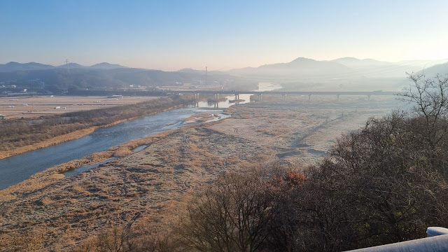 |
| The view from the top of the first big hill; I'd forgotten that the second hill is worse. |
 |
| two gloves caught mating |
 |
| another hornet's nest, higher up this time |
 |
| Final stretch along the Nakdong! Is this a species of weeping willow? |
 |
| the view from the first bridge crossing near the end |
 |
| Mr. Mallard (you know he's a he by his green head; females are brown) |
 |
| the 7-story brick pagoda |
 |
| What does an octopus have to do with a fresh-water river? And what's that tiny thing on its head? |
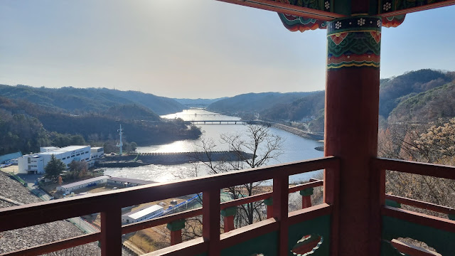 |
| the view downriver from the observation deck by the dam |
EPILOGUE: I've showered, done laundry, and re-bandaged myself. I no longer smell, but I do need a haircut. I trimmed my beard, though, so at least that's under control. Back to work Wednesday morning.
PHOTO ESSAY
 |
| SBJ: Sirius, Betelgeuse, Jupiter: my last day seeing these guys on the trail |
 |
| We've all been through the nose-ring phase. |
 |
| leaving Poongsan-eup |
 |
| The town waves goodbye. |
 |
| too slow to spell "SLOW" |
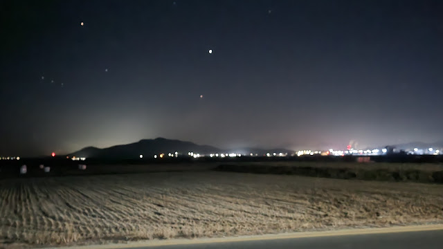 |
| Jupiter front and center; Orion's belt off to the left |
 |
| past the bridge (that I do not cross) |
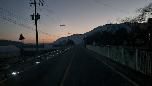 |
| ...and we're on our way once again as the sky lightens. |
 |
| a familiar bridge |
 |
| Yes—the Dan Ho Bridge! Tiny bubbles! |
 |
| Gukto Jongju |
 |
| supposedly 23K to the dam |
 |
| Dan Ho 1st Village, leading up to the first big hill of the day. |
 |
| This isn't a really bad hill, but it does trick you a bit: it's actually a one-two hill, the second slope being steeper. |
 |
| atop the second part of the one-two combination of hills |
 |
| starting down |
 |
| Around this point, things just started to get too cold. |
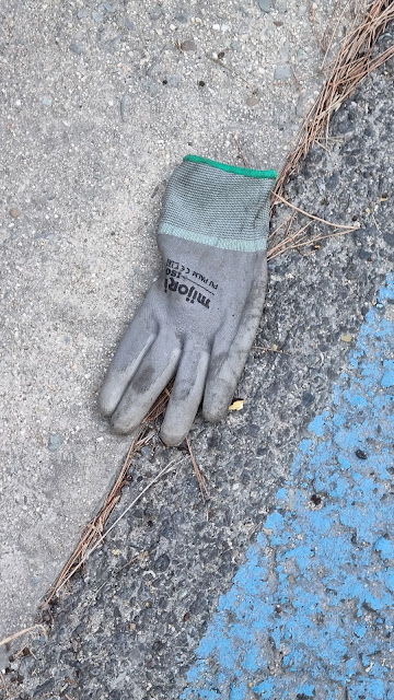 |
| some gloves to distract you |
 |
| the mated (mating?) pair |
A whole lot got skipped between what's above these words and what's below. When the air was warm enough for me to consider removing my glove to take photos again, I did so. All I can say is that I'm sorry. A lot has been lost to history, never to be recorded.
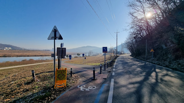 |
| about to embark on the next-to-final stretch along the Nakdong |
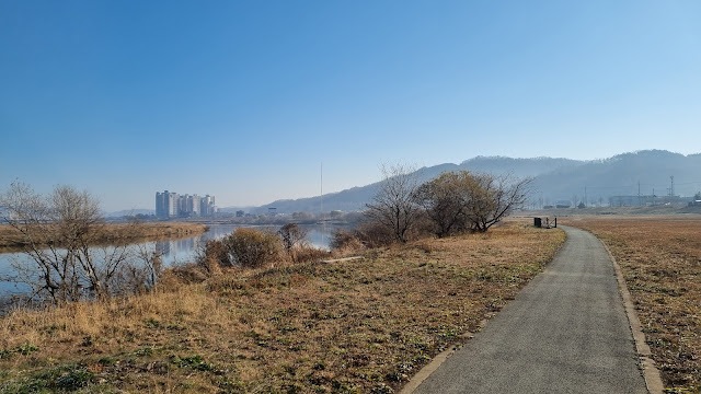 |
| I like this stretch. It's pretty much all parkland until I finally cross two bridges several miles down the way. |
 |
| a cairn has begun to take shape |
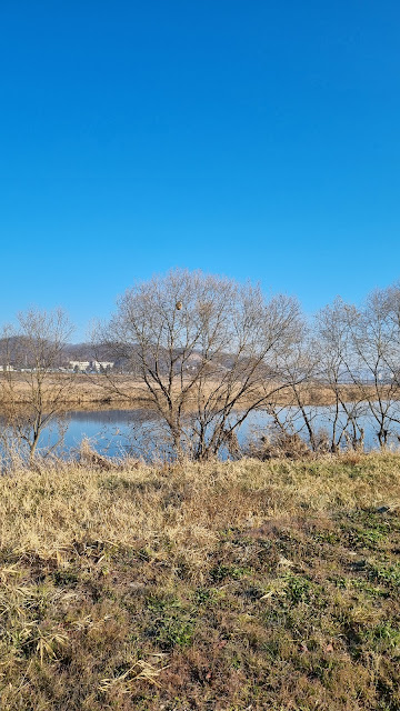 |
| Is that a hornet's nest? Like what I saw two years ago? |
 |
| Well, I'll be. Different location, though. |
 |
| Just as big and ugly as the last one, too. |
 |
| This part of Andong isn't quite as citified as downtown is, but we passed downtown a while back without entering it. |
 |
| One of those mu-in (no-staffer) motels. There's a 궁/Goong ("Castle") Motel in Hanam-eup as well; is this a chain? |
 |
| I realize all of this is man-made, but I still think it's gorgeous. |
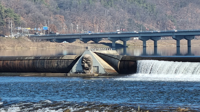 |
| Wooden masks (tal) are a symbol and trope of Andong; here, they guard the river. |
 |
| Not as urban as downtown, but there's still evidence this is very much a city. |
 |
| Yes, that narrow strip on the left of the path is for pedestrians. |
 |
| The dam is supposedly 7.2K away. |
 |
| But this sign puts the dam 10K away. |
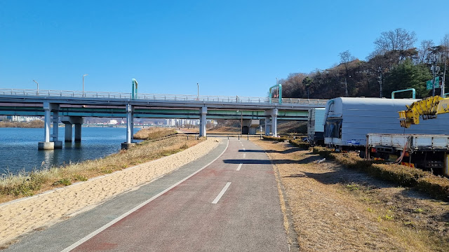 |
| Have you noticed the sandy "barefoot" path paralleling the pedestrian and bike lanes? |
 |
| the UFO from the end of "Indiana Jones and the Kingdom of the Crystal Skull" |
 |
| The sandy path goes temporarily gravelly. |
 |
| This "ecological tunnel" probably makes more sense in the spring and summer. |
 |
| about to turn left onto the first of two bridges |
 |
| a bridge specifically for bikers and walkers |
 |
| These water-baffle stones are a favorite of local waterfowl. |
 |
| Burd chests or burd asses? |
 |
Little do I realize that I've forgotten to turn toward and cross the second footbridge. I'm now headed along the wrong river fork. It'll be more than a kilometer before I notice. |
 |
| So what was a 28K walk has now become a 30K walk. |
 |
Somewhere around here, I check Naver Map again because things are looking unfamiliar, and I turn around. This navigational brain fart didn't happen to me last time. Getting old, I guess. |
 |
| Wavy bridge. Okay, we're on the right track again. Good that it was a bright, beautiful day. |
 |
| Hard to stay mad at yourself when the world seems intent on forgiving you. |
 |
Does that really say this is the Nakdong River's starting point? Because it's not. The Nakdong's source is east of Andong Lake, toward the east coast (Taebaek City). |
 |
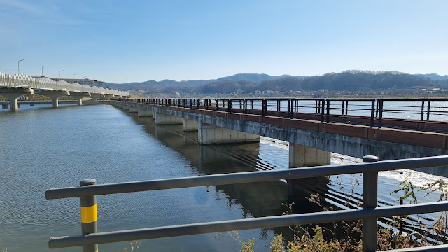
| Here, at last, is the second bridge that we cross. |
 |
| Mr. Mallard sarcastically quacks, "Glad you unfucked yourself. Now go on to the dam." |
 |
| looking back |
 |
| under the wavy bridge and toward the dam... final few kilometers |
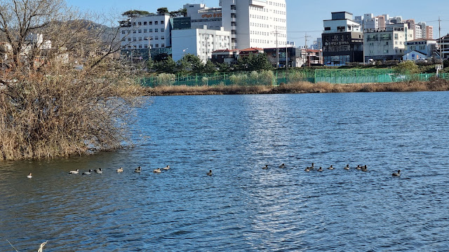 |
| a lot of burdz choosing not to migrate |
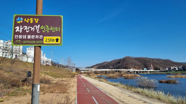 |
| Andong Dam Aquicultural Center, 2.5 km off, so the dam is a bit more than 3 km off. |
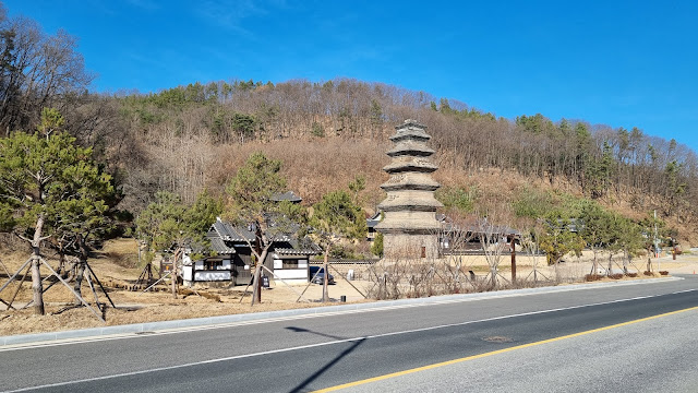 |
| Beopheung-sa's 7-story brick pagoda |
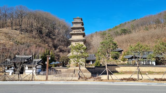 |
| And it's another strangely colored temple. |
 |
| This is not Andong Dam, but it does have to do with hydroelectric power. |
 |
| "a future opened by water; happiness shared through water" |
 |
| "Nakdong River Bike Path Certification Center, ahead 1.5 km" |
 |
| Bridge looking more complete than two years ago, but still a ways to go. |
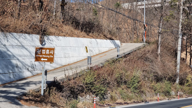 |
| An entrance to Beopheung-sa, the local, oddly colored Buddhist temple. |
 |
| 1K to the certification center, so almost 2K to the dam. |
 |
| one of many restaurants serving the local Andong specialty of gan-godeungeo (grilled, salted mackerel) |
 |
| entering this peripheral, touristy part of Andong City |
 |
| tribute to traditional games |
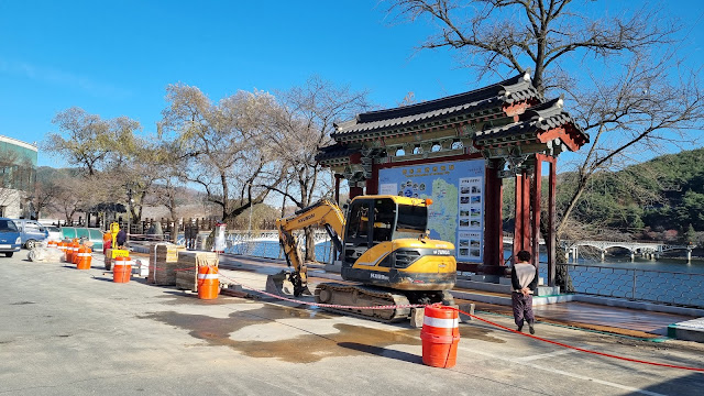 |
| a spot of construction by the Moonlight Bridge |
 |
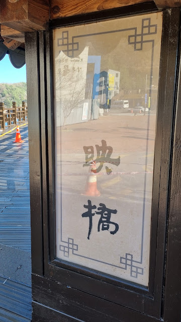
| read the Chinese characters (월영교/Weolyeong-gyo, Moonlight Bridge) from right to left |
 |
| same characters (Weolyeong-gyo, Moonlight Bridge), up to down |
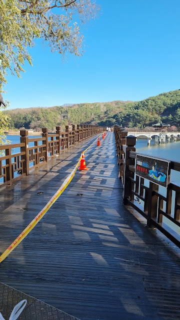 |
| repairs or something happening here... I'm heading across |
 |
| Danger Guy, in more detail, warning about slippery conditions in the winter. |
 |
| That gray slope up ahead is the riverward-facing side of Andong Dam. Final few meters now. |
 |
| looking back and west |
 |
| repair work goes until 12/23 this year |
 |
Bridge specs.
span: 387 m
width: 3.6 m
construction dates: 10/29/01 - 4/19/03
cost: 3.6 billion won (about $2.5 million) |
 |
| I'm only now just noticing the fiercely demonic corner piece on top, probably serving a protective function. |
 |
| "Watch your haid" |
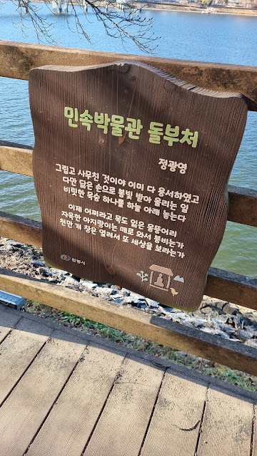 |
| Folk Museum Stone Buddha (and his incantation of forgiveness) |
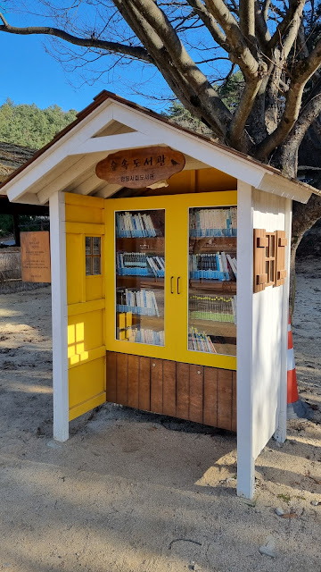 |
| library in the middle of the woods |
 |
| I doubt this was part of the original folk-village setting. |
 |
| "Admiral, we're being hailed. Apparently by an octopus." |
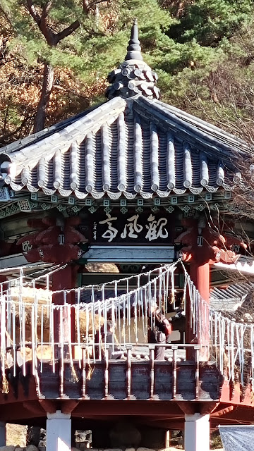 |
| I can't decipher that Chinese style. |
 |
| one member of a pair of jangseung, seen from the side |
 |
| the other member of the pair of jangseung |
 |
| the male half: 천하대장군/cheonha daejanggun—"Great General Under Heaven" |
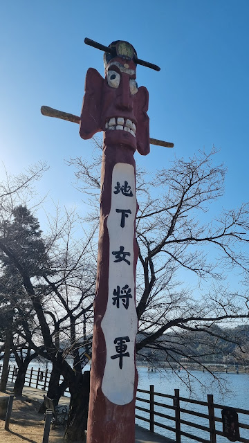 |
| the female half: 지하여장군/jiha yeojanggun—"Female General Under the Earth" |
 |
| "Get this annoying, spiky thing off my head!" |
 |
| These pedal boats would be all over the place in summer. |
 |
"The country's future is the children's responsibility."
As I said two years ago: no pressure, kids. |
 |
| The gray rock says: protect nature. |
I have a choice at this point: walk up the steep road to the top of the dam on the side I'm at, or cross the river again and walk up a staircase and trail on the dam's left side (when facing the dam from the Nakdong River). I'd rather not exhaust myself, so I decide to cross over and head up the stairs and short trail.
 |
| I think this says Yeongnak-gyo, or Yeongnak Bridge. |
 |
| walking across the Yeongnak-gyo |
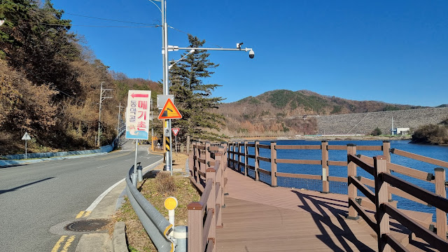 |
| the last few hundred meters to the dam |
 |
| a better look at the dam |
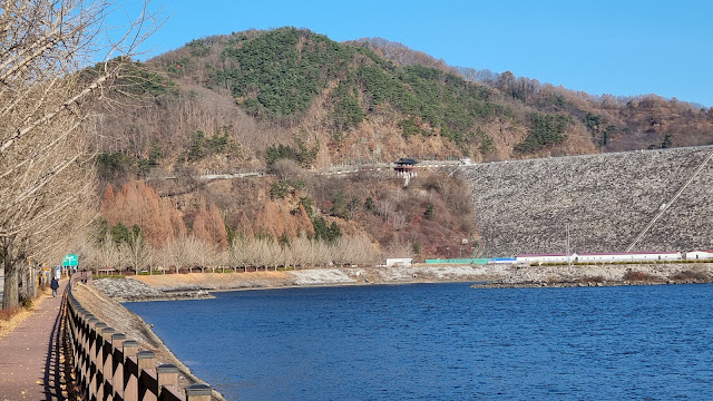 |
| I said this was a most excellent location at which to end a long walk. |
 |
| We're heading up to that observation deck, which is more or less level with the dam's top. |
 |
| the set of stairs I'm looking for is on the left... see it? |
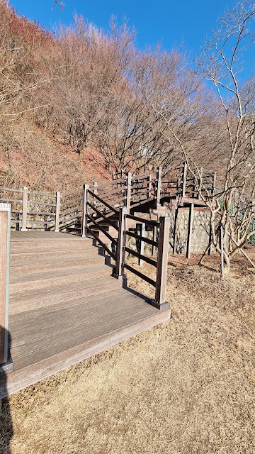 |
| up we go |
 |
| rope handholds... while they last |
 |
| It's not nearly as bad as it looks. |
 |
| pretty leaves |
 |
| trail, and no handholds |
 |
| Let's pause a bit to look down the river valley. |
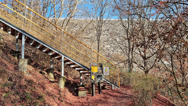 |
| stairs again, leading up to the observation deck |
 |
| Oh, observation deck, you tease. |
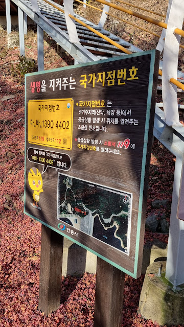 |
| safety sign |
 |
| Danger Guy again warning of slippage |
 |
| up the stairs we go |
 |
| looking down from the top of the stairs |
 |
| ...but now, we've got the deck's stairs to go up. |
 |
| And we're up. |
 |
| that beautiful river valley |
 |
| can't get enough of it |
 |
| the sloping wall of the dam |
 |
| Andong All-purpose Dam |
 |
open 10 a.m. to 5 p.m. right now
No bikes, motorcycles, auto-wheels (probably uniwheels), or kickboards/scooters. |
 |
| Behold! The top of the dam! |
 |
| Looking out at the river valley on one side. Magnificent. |
 |
| Looking out at Andong Lake, a creation of the dam, on the other side. |
 |
| looking back at the observation deck |
 |
| We did it. Finally. (river-valley view) |
 |
| lake view |
 |
| Hopefully, someone will tell me what this structure is. |
 |
| Must be tempting to ski down this when it snows. |
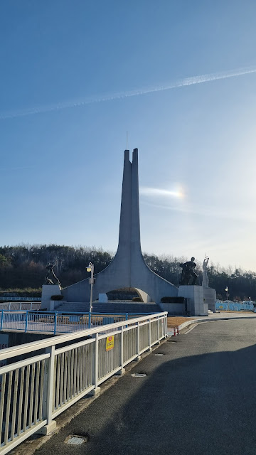 |
| crossing over to the other side |
 |
I took so many shots of sculptures two years ago that you can go back and look at that series of images again. This time around, I paused only long enough for boobs. |
 |
| "Andong Lake" |
 |
| The date says "1977," but it also says "President Park Geun-hye," who wasn't president until the 2000s. |
 |
| I like this sculpture. |
 |
| downhill to the pizza place: Goshen Pizzeria |
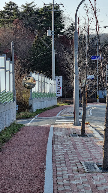 |
| There's the sign. |
 |
| Goshen is written Gosen/고센 in Korean. |
 |
| The interior looked nice, at least, and the place smelled positively Western. |
 |
| a very flat, limp, meh pizza |
 |
| After the meal, as I was leaving, I was greeted by what I guess was the place's mascot. |
 |
| very friendly pooch, and not an arfer |
 |
| a Lions Club statue without any lion, for once |
 |
| rabbits with dirty bottoms |
 |
| the obligatory city label |
 |
| Does that say "Mama Caterpillar"? Something sinister is going on, here. |
 |
| Korean War memorial |
 |
| June 25 is the start date of the Korean War, so you see that date a lot. |
 |
| March 1st Campaign memorial (declaration of independence from Japanese occupation) |
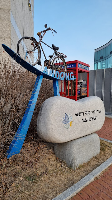 |
| the official starting/ending point for the 385K Nakdong River jongju |
 |
| the Andong Dam certification center, which I'd forgotten to photograph on my way up |
I hope you enjoyed the thoughts and images. Sorry for the breakup in the schedule this time. I'll try not to injure myself so badly next time.










Congratulations, and well done! You achieved your goal and made it home safe and sound. Sorry the pizza you'd been looking forward to turned out to be such a disappointment.
ReplyDeleteThe dog made it all worth it.
DeleteCongrats!
ReplyDeleteAlthough, did I read that correctly? You ordered "a pepperoni pizza with some arugula and sliced onions strewn across the top"? (The onions were what made me do a double take, of course, but if the pizza was called "diavolo" you would also expect it to have some spicy toppings, no?)
C,
DeleteI was kind of hoping for that myself, but alas, it was not to be. I have no idea what a real diavolo is supposed to have on it; the information is doubtless just a look-up away, but along with being a limp, soggy mess, this pizza was about as 싱겁다 as you can get.
Well, as you probably know (or can figure out), "diavolo" means "devil" in Italian, and usually these pizzas have spicy toppings lot hot sausage or pepperoni, or hot peppers. It should be the farthest thing from 싱겁다 as possible.
DeleteIndeed. All the more disappointing.
DeleteGreat photos. Thanks for all the hard work. The one that made me snicker was the benches where the sunshade was casting a shadow on the trail instead of the seating. Funny how that works!
ReplyDelete